
The Nigerian Institution of Surveyors, Lagos State Branch, has urged the Lagos State Government to deploy geospatial intelligence in mapping waste generation, storage facilities, illegal dumpsites and collection routes to improve waste management and reduce environmental pollution.
The institution said the use of geographic information systems, satellite imagery, drones and Global Positioning System technology would help the state identify waste hotspots, locate underserved communities and improve the planning of collection and disposal services.
It made the recommendations in a communiqué issued at the end of its two-day Mandatory Continuing Professional Development programme held on October 21 and 22 at the institution’s secretariat in Alausa, Ikeja, Lagos.
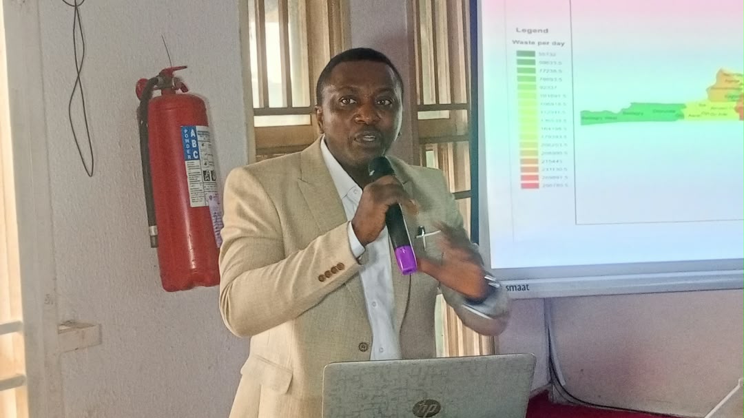
The programme, themed “Application of Geospatial Intelligence in Solid Waste Generation, Storage and Management”, brought together about 750 surveyors to examine how location-based data could address the state’s growing waste management challenges.
According to the communiqué, Lagos generates between 13,000 and 17,000 tonnes of solid waste daily, while inconsistencies in available estimates of waste generation and collection make it difficult to plan storage infrastructure, collection fleets and disposal facilities effectively.
The institution observed that waste management in Lagos remained largely disconnected from the spatial data needed to determine where waste was generated, how much was produced, and whether collection and storage facilities were adequate.
It said, “Waste in Lagos is a spatial problem being managed without enough spatial data.”
The surveyors recommended the establishment of a unified waste database covering waste generation, collection, storage facilities, illegal dumpsites and disposal sites across the state’s local government areas and local council development areas.
They also called for the creation of a dedicated waste data unit within the Lagos Waste Management Authority or the state Ministry of the Environment to maintain reliable information for planning and decision-making.
The institution said household waste generation should be profiled by wards and local council areas using population figures, building footprints, land use information and field measurements.
It argued that reliable data would help the government estimate the volume of waste produced in different communities and determine the number of bins, collection vehicles and personnel required.
On waste storage, the surveyors proposed mapping existing bins, skips and communal collection points to identify densely populated areas without adequate facilities.
They recommended service-area analysis to identify communities without waste storage points within a 200-metre walking distance, alongside a move towards universal household containerisation rather than relying on residents to purchase bins voluntarily.
The communiqué also called for the use of geotagged reports from residents, satellite imagery and drone mapping to identify illegal dumpsites and monitor changes in waste accumulation.
It proposed a reporting system through WhatsApp, text messages and Unstructured Supplementary Service Data platforms, with complaints linked to a central database for monitoring and enforcement.
The institution said reports should receive status updates, while unresolved complaints should be escalated for enforcement after 72 hours.
It further recommended that LAWMA publish response times for waste collection by private sector participation operators and local government areas to improve accountability.
On collection efficiency, the surveyors said geographic information systems could be used to optimise routes, reduce travel time and identify suitable locations for transfer stations.
They noted that large collection trucks might be unsuitable for narrow streets in areas such as Mushin and Lagos Island, recommending smaller vehicles for those locations.
The communiqué also urged the government to use geospatial analysis to assess existing dumpsites and identify suitable locations for future landfills, material recovery facilities and waste-to-energy plants.
It proposed that potential sites in Epe and Badagry be assessed through geospatial suitability mapping, subject to field verification and environmental impact assessments.
The surveyors called for the gradual decommissioning of Olusosun and Solous dumpsites, with the sites converted into enclosed transfer stations and the affected land rehabilitated.
They also recommended the use of satellite data to monitor dumpsite expansion, vegetation stress, possible fires and methane emissions, supported by periodic ground inspections.
The recommendations formed part of the outcome of the training, which featured lectures by the Head of the Department of Surveying and Geoinformatics at Bells University of Technology, Ota, Surv. Dr Godwin Omenka Ode, and practical sessions using QGIS facilitated by Surv. Jamba-Oda Yinka Taofiq.
The institution said surveyors possessed the technical expertise needed to support waste planning through geographic information systems, drone mapping, satellite imagery and other data-gathering tools, but were not sufficiently engaged in waste management decisions.
It urged the Lagos State Government to strengthen data sharing among relevant agencies, including LAWMA, the state ministries responsible for environment and physical planning, the Lagos State Geographic Information Service and the Office of the Surveyor-General.
The communiqué also recommended that new waste management investments prioritise sorting at source, material recovery and recycling, composting and waste-to-energy, with sanitary landfills reserved for residual waste.
Calling for greater public participation, the surveyors urged residents to contain and separate their waste, pay applicable collection bills and report illegal dumping. They also encouraged corporate organisations to support communal waste storage facilities through corporate social responsibility initiatives.
The institution said it was ready to work with the state government, private waste operators, residents and development partners to apply geospatial intelligence to waste management planning and improve environmental conditions across Lagos.
By Dare Akogun